Why Africa Must Track the Sky and the Sun: Lessons from Starlink's Losses

The 2022 Starlink Losses
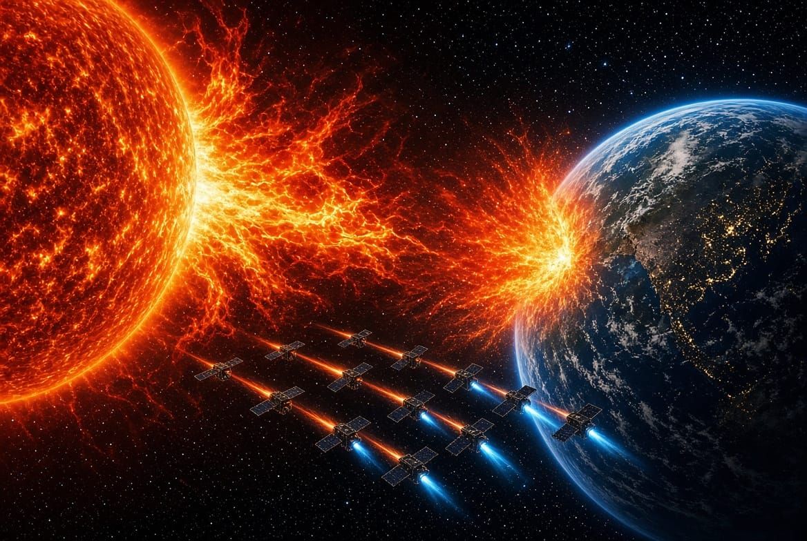
In February 2022, SpaceX launched 49 Starlink satellites into a low checkout orbit near 210 km. A day later, a moderate geomagnetic storm arrived and heated the upper atmosphere enough to raise drag by roughly 50 per cent or more at those altitudes. Up to 40 of the satellites could not produce enough thrust to begin climbing, and they reentered the atmosphere within days. It remains one of the clearest public cases of simultaneous satellite losses caused by atmospheric drag alone.
Rising Losses Through 2024
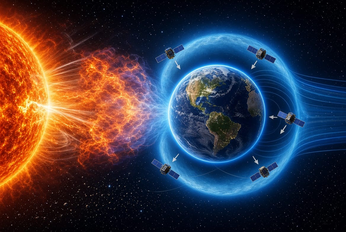
The same process returned on a far larger scale as Solar Cycle 25 climbed toward its peak. An analysis of 523 Starlink reentries between 2020 and 2024 shows the count rising sharply with solar activity, reaching 316 in 2024 alone. Then came May 2024 and the extreme geomagnetic storm officially named the Gannon storm, often called the Mother's Day storm. It thickened the upper atmosphere so much that many operational Starlink satellites lost hundreds of metres of altitude in a single day, forcing them to burn propellant to climb back to their assigned shells. Twelve Starlink satellites also reentered in the weeks around the event, after elevated extreme ultraviolet flux and related changes in the thermosphere had already primed the atmosphere against them (Oliveira et al.).
Why Starlink Is Particularly Exposed
Starlink satellites are exposed for two connected reasons, and both begin with design choices rather than mistakes. The first is where they start their lives. SpaceX releases new satellites at a low insertion altitude on purpose, so that any unit that fails falls back and burns up instead of lingering as long lived debris. It is a responsible safeguard, but it also parks a fresh satellite in the thickest air it will ever fly through, before it has had time to climb. A storm that arrives in those first days meets a satellite with little thrust to spare and a great deal of atmosphere to fight, much like a swimmer pushed back toward shore by a rising tide before reaching deep water. The second reason is shape. Each satellite carries a large flat panel, giving it a high ratio of area to mass, so the same extra air pushes harder on it than on a compact, dense spacecraft. Think of a sheet of paper and a stone in the same wind. When the thermosphere swells during a storm, that broad surface catches the added drag like a sail. Once the satellites reach their operational shell near 550 km they remain vulnerable, but by then they are built to respond on their own, (Omar et al., 2025)
Effects Beyond Starlink
These effects are not confined to Starlink. Other low Earth orbit satellites, including commercial constellations such as Iridium and Planet, NASA missions and many CubeSats, experienced measurable altitude losses, attitude disturbances and extra propellant use during the same storms. Starlink simply makes the problem easiest to see, because of the sheer number of satellites and the routine practice of inserting them at a very low checkout altitude, where even a moderate density increase becomes critical (William et al., 2024). The lesson is that Starlink is not an unusual case. It is the visible edge of a hazard shared by every satellite in low Earth orbit. A storm does not ask who owns a spacecraft, and any operator flying there, large or small, pays the same price in propellant, lifetime and safety. The fewer resources an operator has, the harder that price is to absorb.
How the Satellites Respond
When drag rises, Starlink satellites can begin the response themselves. Most satellites cannot, and as explained in our earlier article, they have no way of sensing what is happening around them and must wait for people on the ground to spot the problem, decide and send a command. Starlink satellites are different because each one carries its own navigation receiver and always knows where it is. Drag does not have to be seen, only noticed. When a thickened atmosphere pulls a satellite below its intended altitude, the drop shows up in its own position data, and its onboard software fires the ion thrusters to push it back up. Often this lifts the satellite a few hundred metres above its normal altitude until conditions settle. This works within limits. The February 2022 losses showed what happens when drag overwhelms the thrusters. The satellites had been released at a very low altitude of 210 km into a storm that raised drag by up to 50 per cent. They were put into a safe mode, flying edge on to reduce drag, but the thrusters still could not lift them, and 38 burned up in the atmosphere. Not every satellite can respond at all. Many still depend on commands from the ground, and small CubeSats often lack the propulsion to respond. Meanwhile, neighbouring Starlink satellites adjust to keep their laser links aligned, so parts of the constellation shift together, briefly but in a coordinated way. These adjustments keep service running for most users, but they use up propellant and quietly weaken the system that keeps satellites apart. That system relies on a catalogue of where every object is expected to be, and each entry carries a margin of uncertainty. Atmospheric drag on a stormy day is one of the hardest things to predict, so when many satellites move at once, the catalogue quickly falls out of date, the margins grow, and the collision probabilities operators rely on become less reliable just when they are needed most.
Implications for Space Situational Awareness in Africa
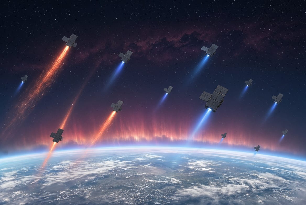
Every lesson from the Starlink episodes leads to one practical requirement: space situational awareness, and within it satellite tracking and space weather monitoring, which must work hand in hand because each answers only half of the question operators face. Tracking shows where every object is and how quickly its orbit is decaying, while space weather explains why it is decaying and warns when a storm driven density spike is under way. A tracking network without space weather data sees a satellite sinking but cannot say how far the storm will push it. A space weather service without tracking can announce a storm but cannot say which satellites lie in its path. Only together do they deliver the timely density models, continuous orbit updates and forecast lead time that operators need before collision risk rises and the window for corrective action closes. For Africa the issue carries particular weight. Several African nations operate or plan to operate satellites for communications, Earth observation, disaster early warning and security. These assets share the same low Earth orbit environment and face the same atmospheric drag hazards. It is of need that African space agencies, universities and operators build these specific two capabilities as one system rather than two in as a combined space situational awareness system. Regional space weather monitoring centres, such as the one at the South African National Space Agency (SANSA), should be built side by side with indigenous tracking and forecasting capacity, so that forecasts feed orbit predictions and observed orbit decay feeds back into density models. Built this way, each strengthens the other, and together they will protect both national satellites and the growing commercial services on which African users increasingly rely.